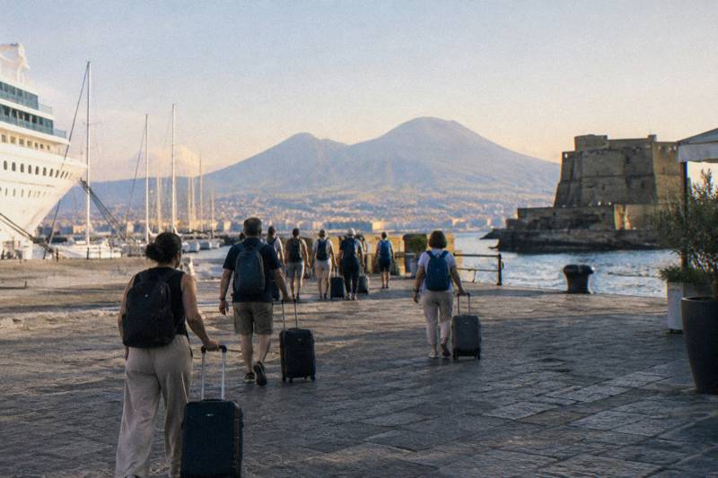
Would Naples Be Destroyed If Vesuvius Erupted?
The short answer on Naples and a future Vesuvius eruption: the red zone, the 1944 eruption, and what the monitoring network says, explained from official sources.
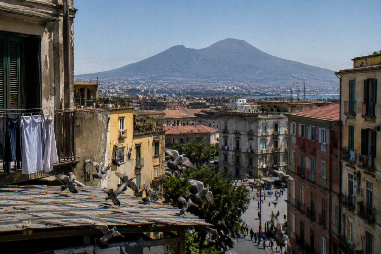
No eruption has occurred since 1944, the alert level is published as green, and the question of destruction turns on geography rather than drama. The official red zone drawn by Regione Campania Civil Protection covers about 700,000 residents across 25 municipalities in the Naples and Salerno provinces. Destruction in a future eruption would depend on where lava and ash fall, which is exactly what the red zone plan exists to manage.
The question sounds like it belongs in a disaster film, but it is a fair one. Vesuvius stands inside one of the most densely populated metropolitan areas in Europe, and its most famous act, the eruption of AD 79, buried Pompeii and Herculaneum and made the volcano a household name. Visitors who take the crater walk today, whether on a full Pompeii and Vesuvius day trip with pizza lunch itinerary or a simple transfer such as the Bus Transfer to Vesuvius with Park Entry Fee, from €35.10 per person and rated 4.3 from 1,923 reviews, often ask guides the same thing on the way up: what happens to Naples if this thing goes again?
This article sticks to what official sources actually publish. The National Institute of Geophysics and Volcanology (INGV) runs the Osservatorio Vesuviano, the world's oldest volcano observatory, and publishes a monthly bulletin and an alert level. The regional civil protection authority publishes the evacuation planning zone. Neither of them predicts destruction; both of them describe a managed risk, and the distinction matters more than any headline.
For readers whose interest in the volcano is practical rather than apocalyptic, the same slopes that threaten nothing today are walkable, farmable and even wine country. The rest of this page answers the question in the order a curious reader usually asks it: what the red zone covers, why Naples survived 1944, what the monitoring network measures, and how the death-toll questions are usually misframed.
What The Red Zone Around Vesuvius Actually Covers?
The red zone is the area that regional civil protection plans to evacuate before or during an eruption, and the current figure is about 700,000 residents across 25 municipalities in the provinces of Naples and Salerno. It is a planning boundary, not a damage forecast. The region publishes it so evacuation logistics, not prophecies of destruction, can be organised years in advance.
Regione Campania Civil Protection states the figure plainly: roughly 700,000 people to be evacuated, spread over 25 municipalities. The plan grew from an earlier version covering 18 municipalities and about 550,000 people, which tells you something reassuring about how this system works. It is revised, expanded and argued over by officials whose job is to prepare for an event nobody can date. The red zone page is published by the region itself, and it is the primary source for the numbers used here: the regional red zone notice.
What the red zone does not tell you is which individual neighbourhood burns or survives. That depends on where vents open, which way the wind blows the ash, and how much warning the monitoring network gives. The zone is deliberately generous, covering everywhere that could plausibly be threatened by pyroclastic flows or heavy ash fall, so that an evacuation ordered once does not have to be repeated halfway through. This is why you will not find a verified source stating flatly that the city of Naples, as a whole, is or is not inside it. The honest answer is that the plan covers 25 named municipalities around the volcano, and that central Naples sits several kilometres farther from the crater than any town destroyed in AD 79.
A useful mental picture: the towns that died in AD 79, Pompeii, Herculaneum, Oplontis, all lay within roughly a dozen kilometres of the crater on the southern and western flanks. The modern red zone is built around that same geometry, expanded for today's population. Touring those towns now, on products like the Day Trip to Pompeii, Herculaneum and Vesuvius from Naples, from €120 per person and rated 4.6 from 588 reviews, you are walking through the exact evidence base the planners used. Those ruins also raise an obvious question about the human cost, and our breakdown of how many victims the eruption actually claimed explains why the honest answer remains uncertain.
Red zone facts at a glance
| Item | Figure | Source basis |
|---|---|---|
| Residents covered by the red zone | About 700,000 | Regione Campania Civil Protection |
| Municipalities in the red zone | 25, in Naples and Salerno provinces | Regione Campania Civil Protection |
| Earlier version of the plan | 18 municipalities, about 550,000 residents | Regione Campania Civil Protection |
| Vesuvius summit height | 1,281 m (INGV) | INGV |
| Last eruption | March 1944 | INGV Osservatorio Vesuviano |
The table above is the entire verified factual core of the "would Naples be destroyed" question. Everything beyond it, lava paths, timelines, casualty projections, simulation results, is either unpublished or speculation, and this article will not dress either one up as fact.
If the topic makes you want to see the volcano rather than read about it, the pairing that best fits a first visit is a guided crater walk. The Vesuvio trekking tour with volcanological guide runs from €260 per group for up to four people, rated 4.7 from a small pool of 15 reviews, and puts a specialist guide between you and the geology.
Why Wasn't Naples Destroyed By Vesuvius?
Naples was not destroyed in AD 79 because the eruption's lethal effects struck the towns south of the crater, while the prevailing winds and the volcano's own geometry carried the worst of the destruction away from the city. Naples also sits farther from the vent than Pompeii or Herculaneum. Distance and wind direction, not luck alone, are the standard explanation.
The AD 79 eruption is the reference event for every destruction question, and its date is itself debated: traditionally August 24, though a 2018 find points to October, after a charcoal graffito at Pompeii reading 17 October led the park team to call an October date highly probable. The eruption column collapsed into pyroclastic flows and surges that killed people where they stood, in Herculaneum first, then across the Pompeii countryside. Naples, then a thriving Roman city called Neapolis, took ash and pumice fall and refugees, but the currents that did the killing never reached it in force.
The physical explanation has two parts. First, distance: energy in a pyroclastic density current falls off sharply with every kilometre, and the lethal runouts of AD 79 were measured in single-digit kilometres from the vent on the affected flanks. Second, direction: the eruption's plume was carried by winds toward the southeast, over Pompeii and the Sarno plain, and the surges followed the topography downhill to the south and west. For a longer treatment of the eruption itself, the companion piece on the AD 79 eruption and the sibling article Is Mount Vesuvius Active cover the sequence in detail.
What Naples did suffer, historically, was repeated disruption rather than annihilation. Earthquakes accompanying major eruptions damaged buildings, ash fall darkened the sky over the bay, and the coastline around the volcano changed shape. Recovery was quick by ancient standards, because the port, the roads and most of the urban fabric lay outside the zone of total burial. That pattern, damage at the margins, survival at the centre, is the one planners still work with today.
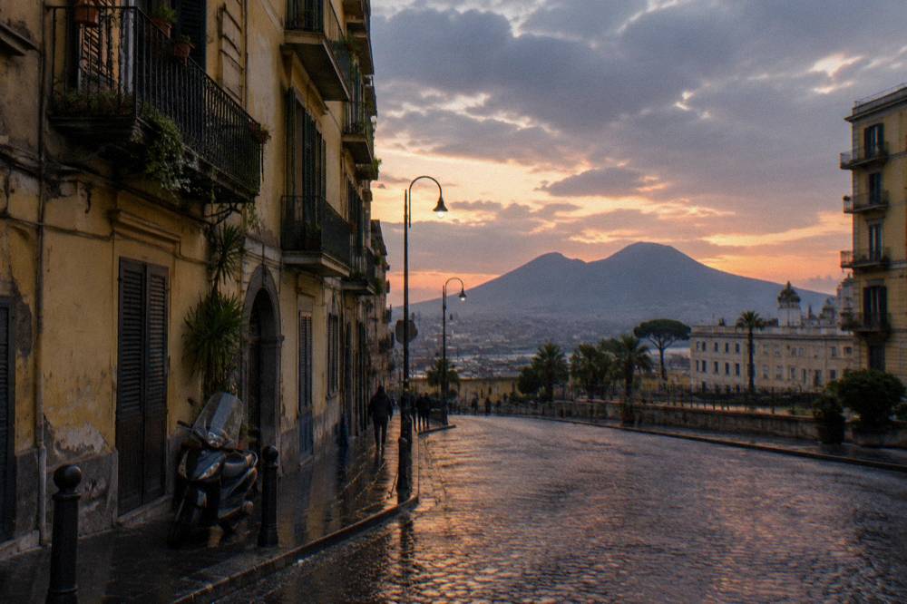
The modern reader can stand in the middle of that story. Wine tours on the volcano's slopes, such as the Amalfi Coast: Pompeii, Vesuvius and Wine Tasting with Lunch, from €299 per person and rated 4.7 from 156 reviews, drive through the exact vineyard belt that grew back on AD 79's ash, and every glass of Lacryma Christi is, in a literal sense, the volcano's afterlife.
Will Naples Be Destroyed If Vesuvius Erupts?
No official source answers this with a yes or a no, and any page that does is guessing. What the authorities publish is a green alert level, a monitoring bulletin, and an evacuation plan for about 700,000 people. The working assumption is warning time: an expected slow build-up of unrest gives days to months of measurable signals before any eruption.
The Osservatorio Vesuviano publishes the current status of the volcano, and the picture it gives is quiet: the alert level is green, described as monitoring parameters within base values. The September 2026 monthly bulletin recorded 121 small earthquakes, with a maximum magnitude of 1.7, and 113 of them below magnitude 1.0 or undetermined, together with a long-term decline in hydrothermal activity in the crater. Those are the numbers a scientist would quote, and you can read the same page the figures come from: the INGV Vesuvius status page. Nothing in that bulletin points toward an eruption.
The reason officials do not talk about destruction is that the question they plan for is evacuation, and evacuation depends on warning time. Volcanoes like Vesuvius are expected, on the basis of past behaviour, to give measurable signals, earthquake swarms, ground deformation, gas changes, well before magma reaches the surface. The whole monitoring apparatus, seismometers, GPS stations, gas sensors, thermal cameras, exists to catch those signals early. The red zone plan then converts warning into movement of people, which is a logistics problem of extraordinary scale but a solved one in principle.
What the monitoring bulletin actually reports
| Measured parameter | Latest published picture | Reading |
|---|---|---|
| Alert level | Green | Base values |
| Earthquakes in the September bulletin | 121, max magnitude 1.7 | Low-energy, mostly tiny |
| Share under magnitude 1.0 | 113 of 121 | Typical background seismicity |
| Hydrothermal activity in the crater | Long-term decline | Multi-year trend |
| Ground deformation | No magmatic deformation reported | Quiet |
For scale, magnitude 1.7 is an earthquake most people standing directly above would not feel. A volcano preparing to erupt does not look like this; it looks like swarms of larger quakes, rapid uplift, and shifting gas chemistry, sustained over weeks. The neighbour to the west, the Campi Flegrei caldera, is the instructive contrast: it sits at a published yellow alert level, which is precisely why its monitoring figures make news and Vesuvius's do not.
It is also worth separating the two volcanoes in the public mind, because the question "would Naples be destroyed" is sometimes really about Campi Flegrei, whose caldera genuinely underlies part of the western suburbs. Vesuvius is a stratovolcano with a summit crater 1,281 m high per INGV, a documented eruption history, and a red zone drawn around its flanks. Readers curious about the comparison can follow the Mount Vesuvius guided tour with ticket from Naples for the practical side of visiting, or the sibling piece Which Is Bigger, Vesuvius Or Etna? for how the giant volcanoes of Italy stack up.
The honest summary of the science: an eruption is possible someday, destructive effects would be concentrated inside the red zone, the monitoring network is designed to give substantial warning, and no competent authority predicts the destruction of the city of Naples.
Why Was Naples Not Destroyed By Vesuvius?
The same geography that saved Naples in AD 79 and in 1944 applies today: the city lies beyond the reach of the volcano's most lethal phenomena, and the towns on the flanks take the direct hits. In 1944 the eruption's lava and ash damaged communities on the slopes, while Naples proper again escaped major destruction. The pattern is consistent across every documented eruption.
The 1944 eruption is the best evidence available, because it is the only Vesuvius eruption of the modern era and the last to date. INGV's Osservatorio Vesuviano, which maintains the historical record, describes a short but real sequence: activity began on 18 March 1944 with explosions that partly destroyed the intracrater cone, intensified on 19 March, and by 21 March lava had reached the towns. The full account is on the observatory's 1944 eruption page. Allied troops and war correspondents photographed the event, san sebastiano and neighboring villages lost homes and farmland, and roughly a displaced population had to be rehoused, but the city of Naples was not destroyed.
Two details from 1944 matter for the modern question. First, the eruption was small by Vesuvius standards, an effusive-to-moderately-explosive event, nothing in the class of AD 79. Second, even a small eruption demonstrated exactly the vulnerability pattern the red zone encodes: flank towns in the path, the wider city affected mainly by ash fall and evacuation of the immediate area. When planners expanded the red zone, they were generalising from precisely this kind of event, scaled upward.
The 1944 eruption is also why the landscape visitors see today looks so young. The lava fields of that spring are now walking country, and the devastated villages are quiet towns with vineyards. Operators such as the transfer service behind the Mount Vesuvius transfer with entry tickets, from €35.10 per person and rated 4.4 from 1,785 reviews, drive past 1944's geography on every run to the trailhead. One guest review of that product, from Mia in the United Kingdom, notes "being able to explore and walk up in our own time was amazing", a reminder that the volcano's recent violence is now a managed walking route.
How Many People Died When Mount Vesuvius Erupted In 1944?
The honest answer is that this page does not print casualty figures, because verified, citable numbers are the province of the historical record rather than a tour site's science desk. What is documented by INGV is the eruption's timeline: explosions from 18 March, intensification on 19 March, lava reaching the towns on 21 March. The damage was concentrated in communities on the northern flank.
The reason for that caution is deliberate. Casualty figures for eruptions circulate widely, in wildly conflicting versions, and this site's fact base bans printing numbers that are not verified. What the verified record supports is the sequence of events and the scale of material destruction: destroyed and damaged buildings in the path of the lava flows, farmland buried, and a population displaced rather than a city levelled. For the death-toll question answered properly, with the historical sources laid out, the companion article How Many People Died When Mount Vesuvius Erupted? is the dedicated treatment.
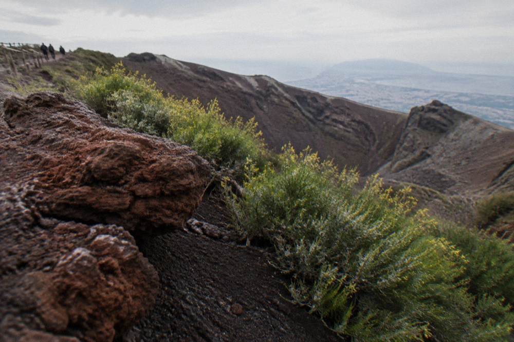
There is a broader point worth making about how these questions get asked. "How many died" treats an eruption as a completed historical event with a final count. For a future eruption, the number that matters is not a historical toll but a projected one, and the projected toll depends almost entirely on whether the evacuation of the red zone succeeds. That is why the 700,000-resident figure is the single most important number on this page, more important than any magnitude or date. Every measure, the monitoring network, the alert levels, the parking restrictions, the ticketed access to the crater, ultimately serves keeping people out of the way in time. The rest of the planning pages sit on Mount Vesuvius Tours.
Visitors sometimes sense this on the mountain itself. The crater walk is run under park rules that cap the number of hikers and require accompaniment by the park's volcanological guides above 1,000 m, and the guides talk about monitoring as a live system, not history. A fuller treatment of what the walk involves is in the guide to Is Mount Vesuvius Active, and the transfer-only route onto the mountain is covered by products like the Bus Transfer to Vesuvius with park entry, from €35.10 per person, rated 4.3 from 1,923 reviews.
How Many Died When Vesuvius Erupted?
Asked about AD 79, the question has no verified single figure, and this site does not print one. Pompeii, Herculaneum and the surrounding villas were buried and their populations killed in large numbers, but estimates vary enormously and the scholarly literature does not agree on a count. The event's scale, not its arithmetic, is what geologists treat as settled.
The AD 79 eruption released energy on a scale that makes 1944 look like a rehearsal. Pliny the Younger's letters describe the plume, the darkness and the ash fall, and modern volcanology reconstructs a column tens of kilometres high feeding pyroclastic currents that laid down metres of hot ash across everything downslope. The date itself carries the famous wrinkle noted above: traditionally August 24, though a 2018 find points to October. Whichever day it was, the outcome for the buried towns was total, and the archaeological record, the skeletons in the boathouses at Herculaneum, the casts at Pompeii, is the evidence every estimate works from.
Why no count? The population of the affected towns on the day is unknown, seasonal and transient visitors inflated or deflated it, and the dead were recovered only partially over centuries of excavation. Numbers that circulate online range from one order of magnitude to another, and a responsible answer names the uncertainty instead of picking a figure. The sibling article on the death toll works through what historians actually estimate, and it is the right place to take that question.
The curious thing is how the disaster became an itinerary. The towns the eruption killed are now the region's biggest draw, and the volcanic soil they were buried under grows the grapes for Lacryma Christi. A full-day pairing like the Vesuvius and Pompeii Signature Tour with wine and lunch from Naples, from €150 per person and rated 4.9 from 461 reviews, runs the whole arc in one day: the ruins, the crater, the vineyard. There is something quietly reassuring about that, a working landscape on the flanks of the volcano people most fear.
How Much Warning Would Naples Get Before An Eruption?
The published planning assumption is measurable precursor signals, earthquake swarms, ground deformation and gas changes, building over days to months before an eruption, which is why the monitoring network exists and why the alert level moves through defined phases rather than flipping without notice. Green means base values; any change would be published on the observatory's status page.
The Osservatorio Vesuviano is the oldest volcano observatory in the world, founded to watch this one volcano, and its instruments blanket the mountain: seismic networks, deformation arrays, gas and thermal sensors. The September bulletin's 121 micro-earthquakes are the kind of background the network swallows routinely. What would change the picture is a swarm of larger events, sustained uplift, or a shift in gas ratios, any of which would move the alert level through the published phases and trigger the civil protection machinery behind the red zone.
For travellers, this has a practical corollary. The crater trail and ticket office close automatically on days with an orange weather alert or higher, and the park's operational rules, ticketed slots, capped numbers, mandatory guides above 1,000 m, are all built around controlled access to an actively monitored volcano. Booking language on tour listings reflects this: products are bookable for future dates and travellers are advised to confirm the operator's current schedule. The pairing many first-timers choose, a transfer-and-ticket product such as the Bus Transfer to Vesuvius with Park Entry Fee, exists precisely because independent access is regulated.
One caution belongs here: the monitoring story is sometimes flattened into "the scientists will tell us in advance", and that is only half true. The network is designed to detect unrest early, but nobody can promise an exact lead time, which is why the red zone is drawn generously and rehearsed constantly. Preparation substitutes for prediction.
Eruption history in brief
| Event | When | What the verified record says | Where Naples stood |
|---|---|---|---|
| AD 79 eruption | Traditionally August 24, a 2018 find points to October | Buried Pompeii, Herculaneum and villas on the flanks | Ash fall and damage, not destruction |
| 1944 eruption | Began 18 March, lava reached towns 21 March | Last eruption; flank towns damaged, population displaced | Escaped major destruction |
| Present day | Alert level green | 121 micro-quakes in the September bulletin, max magnitude 1.7 | Normal life, including tourism, on the slopes |
Should The Fear Change Your Travel Plans?
No. Vesuvius is monitored around the clock, sits at a published green alert level, and is visited daily under park safety rules. The red zone is an evacuation plan with no bearing on a holiday week, and the crater trail, the ruins and the wineries operate as ordinary, regulated tourism. The rational response to the volcano's history is a booked timeslot, not a cancelled trip.
The mismatch between the mental image and the reality is widest on the mountain itself. The trailhead at Quota 1000 functions like any managed park entrance, ticketed, slotted, staffed. The guides are volcanological professionals. The wine estates on the lower slopes, some of which host the lunch stops on tours like the Amalfi Coast Pompeii, Vesuvius and wine tasting tour from €299 per person, have worked this soil for generations. If the people who live closest to the volcano treat it as farmland and walking country, a visitor's risk calculus should start from their example, tempered only by ordinary hiking sense: check the weather, wear real shoes, carry water.
There is even a case that knowing the hazard enriches the visit. Standing on the crater rim, looking at the fumaroles on the inner walls and the bay beyond, the question that opened this article answers itself in a different register. The volcano is not a ticking bomb in the city square; it is a monitored mountain with a plan around it. The fear is understandable, the facts are public, and the facts are calm.
Common Questions About Naples And A Vesuvius Eruption
Would Naples Be Destroyed If Vesuvius Erupted?
No official source says so. The published plan covers evacuation of about 700,000 residents across 25 municipalities in the Naples and Salerno provinces, and the alert level is green. Destruction in a future eruption would be concentrated in the red zone, with warning expected from the monitoring network.
Will Naples Be Destroyed If Vesuvius Erupts?
No competent authority predicts the destruction of the city. The Osservatorio Vesuviano publishes a green alert level and a quiet monthly bulletin, and the regional plan is built on evacuation with warning time rather than on any forecast of annihilation.
Why Wasn't Naples Destroyed By Vesuvius?
In AD 79 the lethal pyroclastic currents struck the towns on the southern and western flanks, and the winds carried the plume away from Naples. In 1944 damage again concentrated in the flank towns. Distance and wind direction, consistently, spared the city.
How Many People Died When Mount Vesuvius Erupted In 1944?
This page does not print casualty figures, because verified counts are a matter for the historical literature. INGV documents the timeline: explosions from 18 March, intensification on 19 March, lava reaching the towns on 21 March, with damage concentrated in slope communities.
How Many Died When Vesuvius Erupted?
For AD 79 there is no agreed figure; estimates vary enormously and this site does not print one. The buried towns' populations on the day are unknown. The dedicated sibling article on the death toll works through the historical estimates in detail.
Is Vesuvius monitored continuously?
Yes. The Osservatorio Vesuviano runs seismic, deformation, gas and thermal networks around the volcano and publishes a monthly bulletin and an alert level. The current level is green, with the September bulletin recording 121 micro-earthquakes, maximum magnitude 1.7.